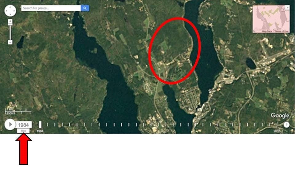
Time Lapse of Long Bay / South Down Development
from 1984 to 2016
The map below is a snapshot of Long Bay & South Down from 1984 (there is practically nothing there yet).
Click on the map below
to see a time lapse progression from 1984 to 2016 (it may take awhile to load).
To slow down the slide show, click the "Fast" speed below the date in the lower left corner to get to "Slow" (see red arrow below).
(courtesy of Matt Miller)


